Use Cases
One solution, many perspectives.
trailpulse delivers the same data, but the value differs depending on your role and responsibility.
Behind every data point are real places, people and decisions: tourism boards, forestry stakeholders, municipalities and clubs. trailpulse makes usage visible so discussions can turn into shared solutions.
Tourism Boards
Problem
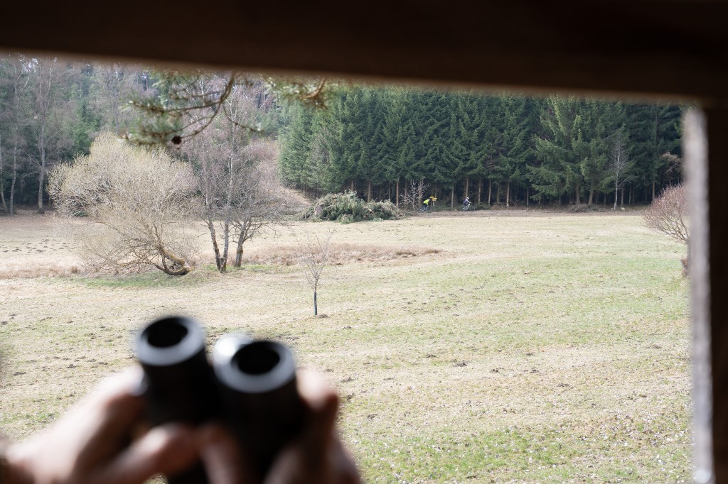
Visitor flows are unclear. Overcrowding is only noticed when it's too late. Infrastructure investments are hard to justify.
Lösung
trailpulse reveals when and where usage is highest. Capacity becomes visible, trends become recognisable.
Mehrwert
Active capacity management. Targeted guidance instead of reaction. Data-driven argumentation towards funding bodies and stakeholders.
Trail & Path Managers
Problem
Maintenance costs are rising, but there is no basis for prioritisation. Which section gets how much use?
Lösung
Precise usage data per trail section. Automatic reports across time periods and trends.
Mehrwert
Plan maintenance strategically. Substantiate investments. Deploy resources where they have the greatest impact.
Municipalities & Public Authorities
Problem
Conflicts between user groups (hikers, cyclists, residents). Emotional discussions without a factual basis.
Lösung
Objective figures on actual usage. Clarity on frequency, distribution, and trends.
Mehrwert
Bring discussions back to facts. Justify measures transparently. Strengthen trust in decisions.
Nature Conservation & Coordination
Problem
The intensity of nature use is unknown. Conservation measures are planned without a data foundation.
Lösung
trailpulse captures actual usage intensity. Sensitive areas are monitored without impacting nature.
Mehrwert
Steer nature use strategically. Develop and evaluate conservation concepts based on data.
From the Field
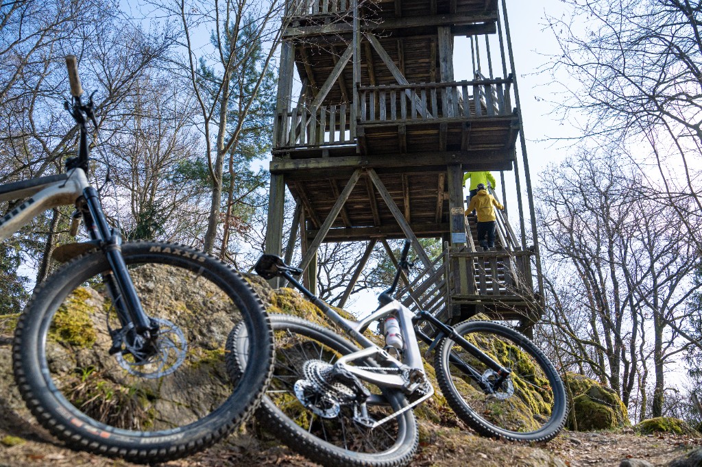
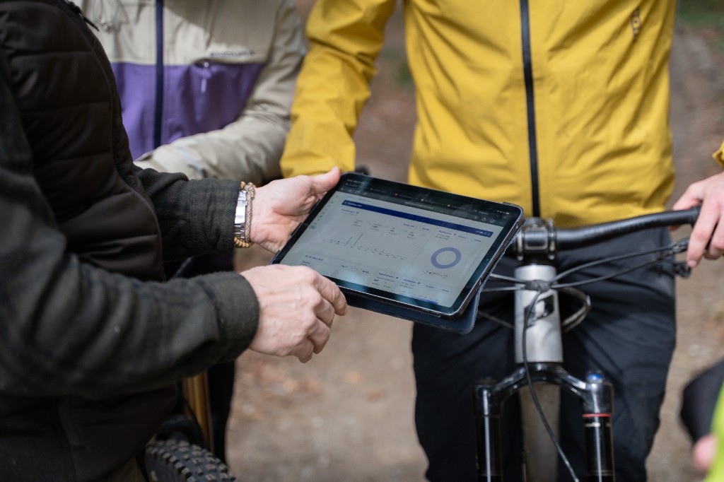
Guidance through Attractiveness – MTB-Linz
How a community initiative in Linz used data-driven trail management to make illegal trails redundant – winning over all stakeholders in the process.
Around Linz, there were hardly any official mountain bike trails. Riders therefore used self-built paths, leading to conflicts with landowners, hunters, and residents. The MTB-Linz initiative set out to create an official and attractive trail network.
In coordination with all stakeholders, a corridor was established for the Hornissen Trail – a purpose-built mountain bike trail offering excellent riding. At the same time, all other unofficial paths outside the agreed corridor were dismantled.
The result: since the Hornissen Trail opened in March 2022, usage on all other paths dropped to virtually zero. The data shows – mountain bikers can be guided through an attractive trail network. Guidance through attractiveness works.
19,996
Total rides
4,650
Active riders
152
Rides/day avg.
1.4 km
Trail length
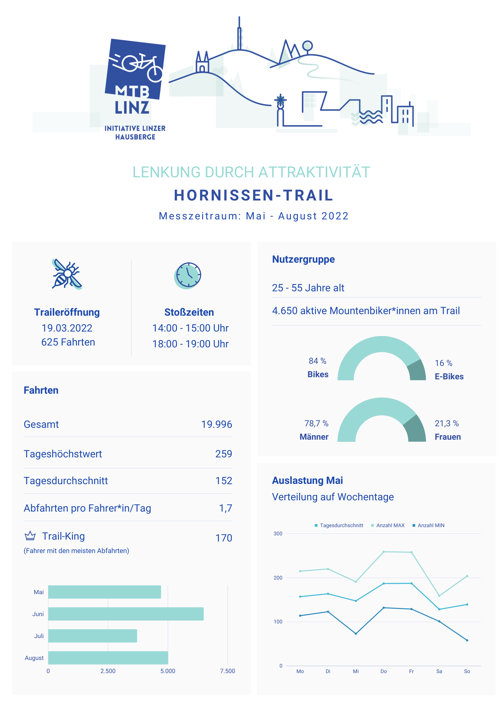
Source: MTB-Linz Initiative – measurement period May–August 2022
From the Field
Rettenbachtal – Data as the Basis for Reopening
For us in the Salzkammergut, it is crucial to understand where people move within natural areas. With trailpulse, we found a provider that delivers well-founded and objective data on visitor flows. Additionally, no staff effort is required for data collection.
This allows us to better analyse developments, make usage visible, and strategically develop our infrastructure. The collected data helps us not only in strategic planning and marketing but also in dialogue with landowners, municipalities, and authorities.
A concrete example is the reopening of the Rettenbachtal after years of closure. Thanks to the data foundation from trailpulse, we were able to clearly demonstrate how usage in the area developed despite the closure.
trailpulse has therefore become an important instrument for us to better reconcile tourism, natural spaces, and local interests, and to make decisions based on reliable facts.
From the Field
Schladming-Dachstein – From pilot deployment to the Sonnseitn Trails
For us in the Schladming-Dachstein region, a core priority is to better understand our guests' cycling behaviour and to develop our offering strategically on that basis. We have already successfully tested the counter on the Haus-Aich singletrack and gained highly valuable insights.
Looking ahead to our major project, the Sonnseitn Trails opening in spring 2027, we see it as an important tool. The data give us a clear overview of trail use and help us guide visitor flows more effectively. They also let us record landowners' revenue shares simply and transparently.
At the same time, they create a solid foundation for aligning our offering even more closely with our guests' needs in the long term and delivering exactly the experience they expect.
From the Region
New trails need early data foundations
The earlier monitoring and funding logic are included, the smoother submission, alignment and implementation become.
Your context is different?
Let's find out together whether trailpulse is the right fit for your situation.
Schedule a conversation